
CENTRAL FLORES
Central Flores comprises the regencies (kabupaten) of Ende, Nagekeo, Ngada and Manggarai Timur.


See & do
hightlights in central
Flores
BEACH (=pantai)
-Kotajogo near Mbay
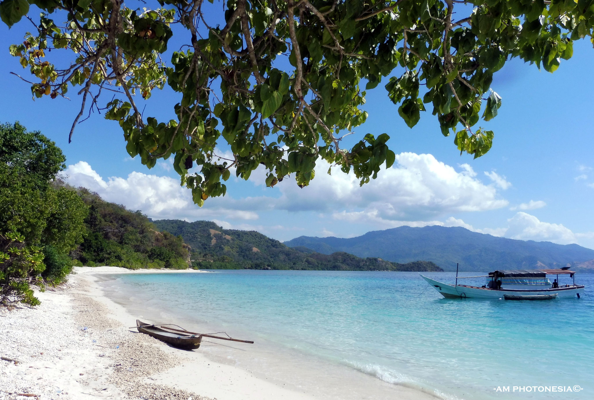
-Marine Park 17 islands, Riung
-Pantai Cincin, west of Ende
-Pantai Enabara, Ende north coast near Maurole
-Pantai Enabhara, south east of Bajawa
-Pantai Enagera, east of Mauponggo
-Pantai Ma'ukeke, west of Ende
-Pantai Mbalata, near Aimere
-Pantai Mbu'u, east of Ende
-Pantai Ria in Ende (grilled fish at the seaside)
-Penggajawa, blue stone beach near Nangapanda
-Watu Cepi Beach near Borong
HIKES
-Belaraghi to Paukate 1-1,5 hours downhill through savanna landscape
-Bena to Tololela 1-1,5 hours through bamboo forest, mostly flat
-Bukit Liaga north coast Ende district for a Padarlike view
-Beiposo to Belaraghi, 7 to 9 hours through the forest
-Watu Nariwowo trekking (start from Langa village) short hike
-Wawo Muda, the mini Kelimutu near Bajawa, 1,5 hours hike
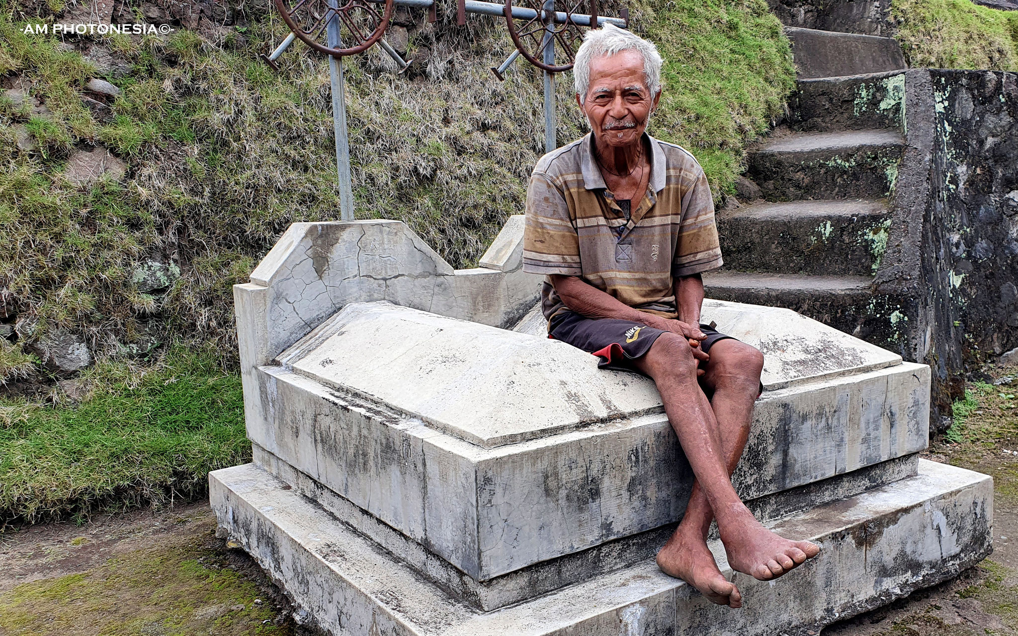
HISTORY
-Japanese caves near Mbay
-Pancasila monument, Ende
-Rock with mark "Floresweg" (Trans Flores Road, made by the Dutch in 1925)
-Soekarno's (1st president of Indonesia) former house and museum in Ende
HOTSPRINGS
-Malanage hot- and coldspring
-Mengeruda hotspring, Soa
MARKETS
-Bobou market near Bajawa
-Ende market
-Wednesday market Boawae
-Wolowona market
MOUNTAIN AND VOLCANO CLIMBING
-Mount Ebulobo, 2124 MASL, Mulakoli is startingpoint
-Mount Inerie, 2245 MASL, (dep 2 am, return between 10 and 12 am)
-Mount Iya, 637 MASL, south of Ende town, also for sunset
NATIONAL PARKS
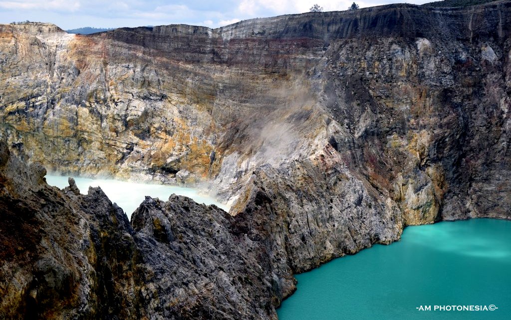
-Kelimutu NP, the three coloured lakes which are changing from time to time
-Riung Marine National Park 17 islands
-Watu Nariwowo trekking (start from Langa village) short trekking
RELIGIOUS
-Cathedral Ende
-Statue of Mother Mary near Beiposo (Bajawa) and view on the valley
SUNSETS
-Dampek east of Reo
-Ende town
-Ende, Puncak Ndona
-Watu Mitong, 20 minutes west of Riung
-Wolobobo, south east of Bajawa
TRADITION
-Arrack production in Aimere
-Tenun ikat (woven cloth)
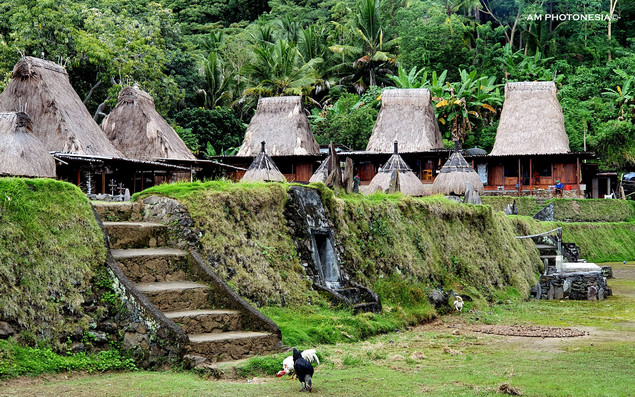
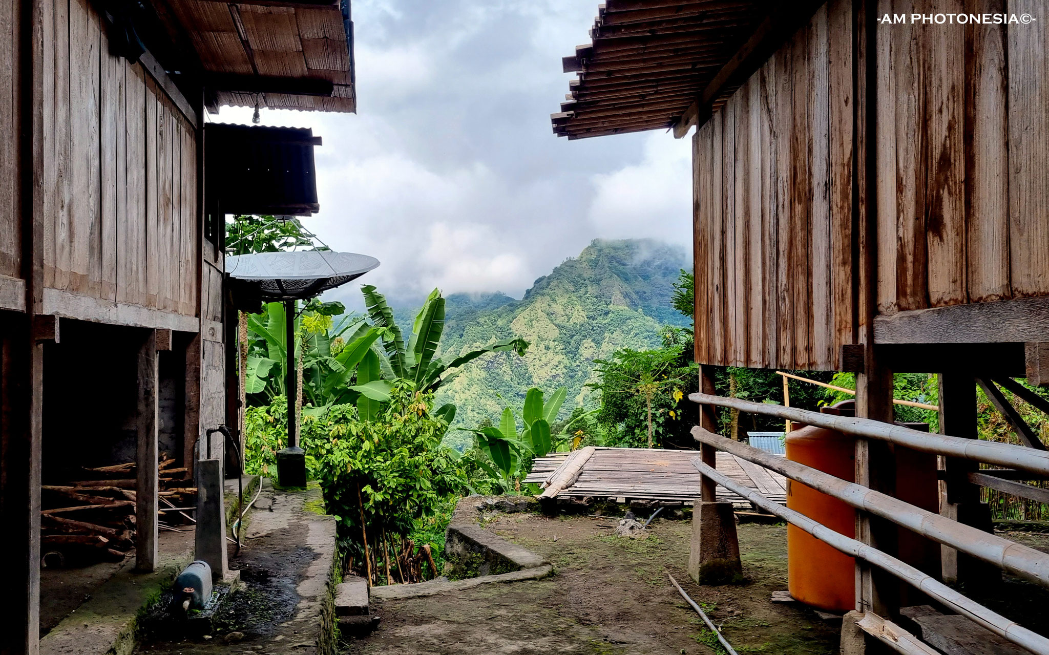
TRADITIONAL VILLAGES (=kampung adat)
The villages below are the most beautiful in Ngada district and around Bajawa
-Bela
-Belaraghi (overnight
possible)
-Bena (overnight possible)
-Gurusina*
-Langa
-Luba
-Maghilewa (overnight possible)
-Tololela (overnight possible)
-Wogo
*Gurusina village has burned down on 13th August 2018 but is rebuilt again.
Other areas
-Kawa
(Nagekeo) but rnot easy
accesible
-Nggela, south of Moni
near the coast
-Nggolonio between Mbay and Riung
-Saga (between Ende and
Detusoko)
-Tutubhada (Nagekeo), easy accesible along the road Boawae to Mbay
-Wajo (Nagekeo)
-Waturaka (near Moni)
-Woloara, Jopu Ranggase traditional house (near
Moni)
-Wologai (near Moni)
-Wolotopo (near Ende)
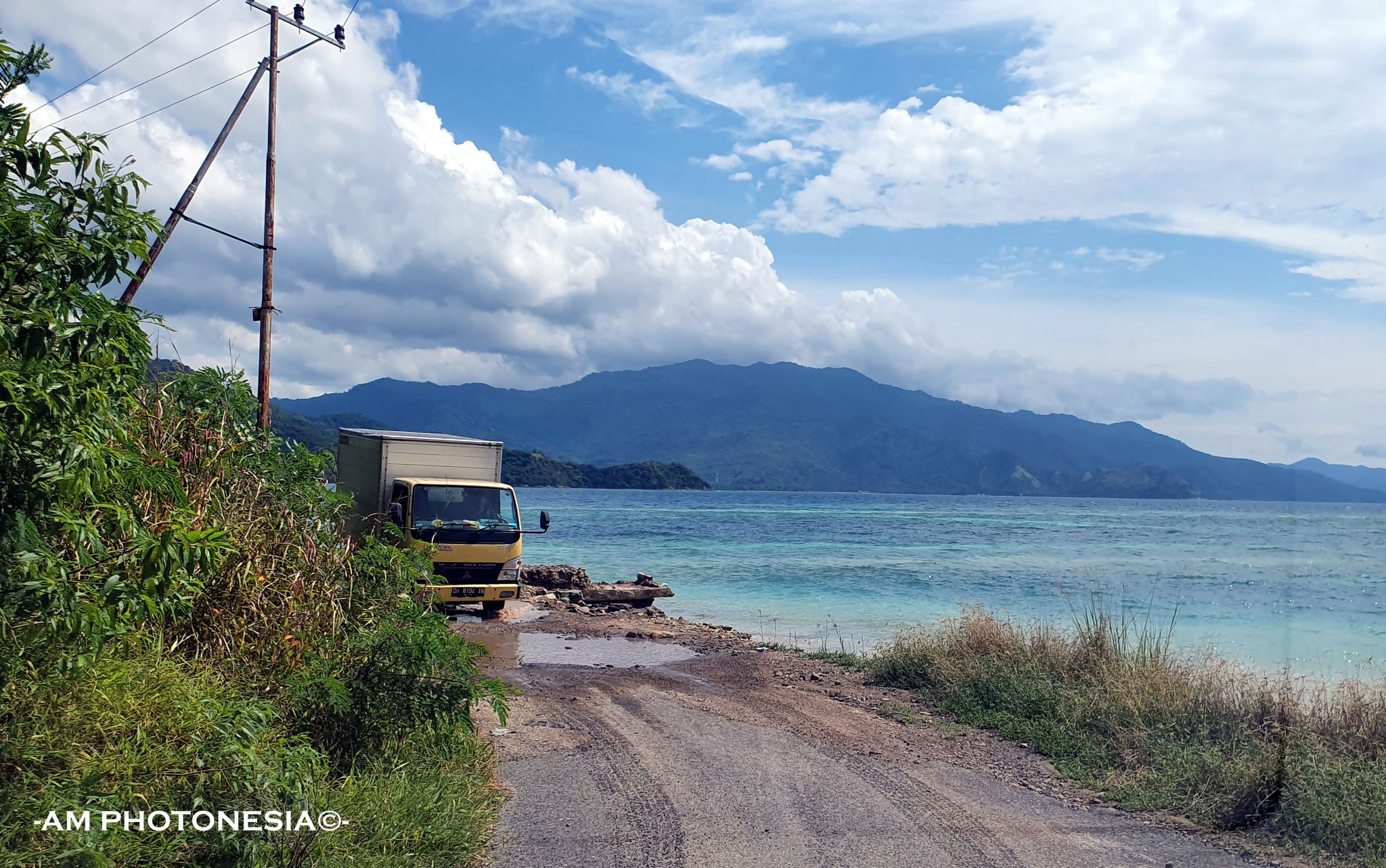
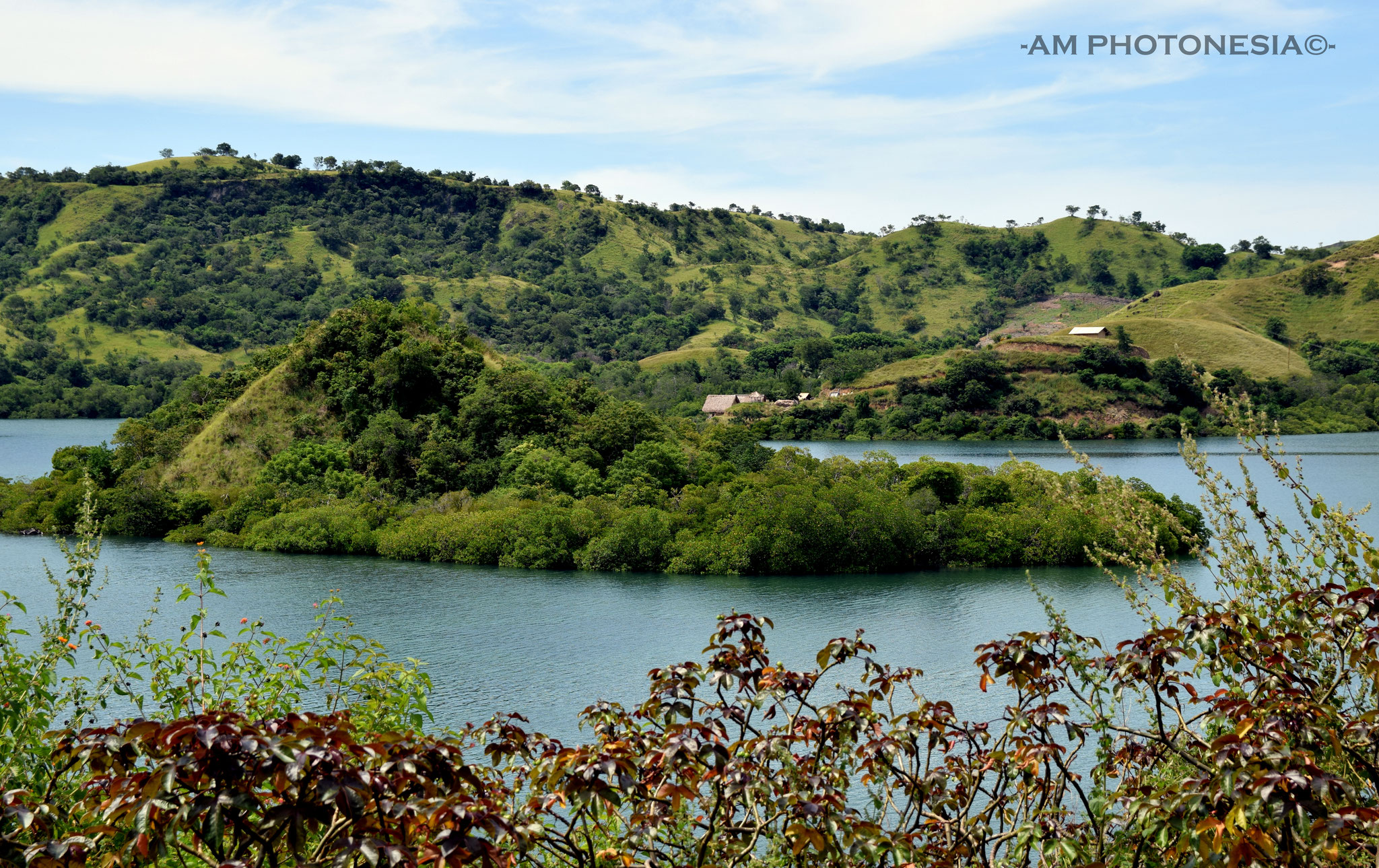
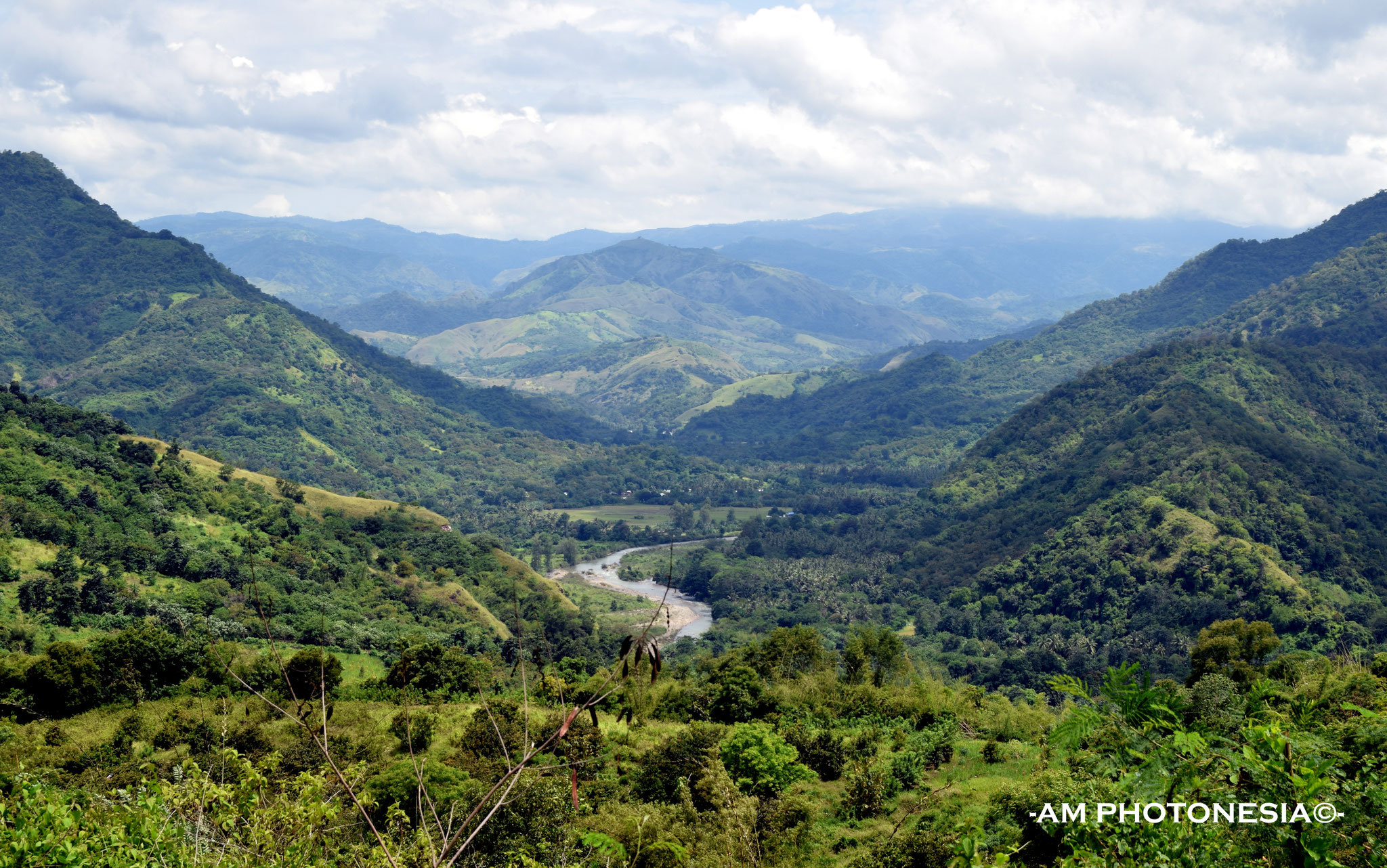
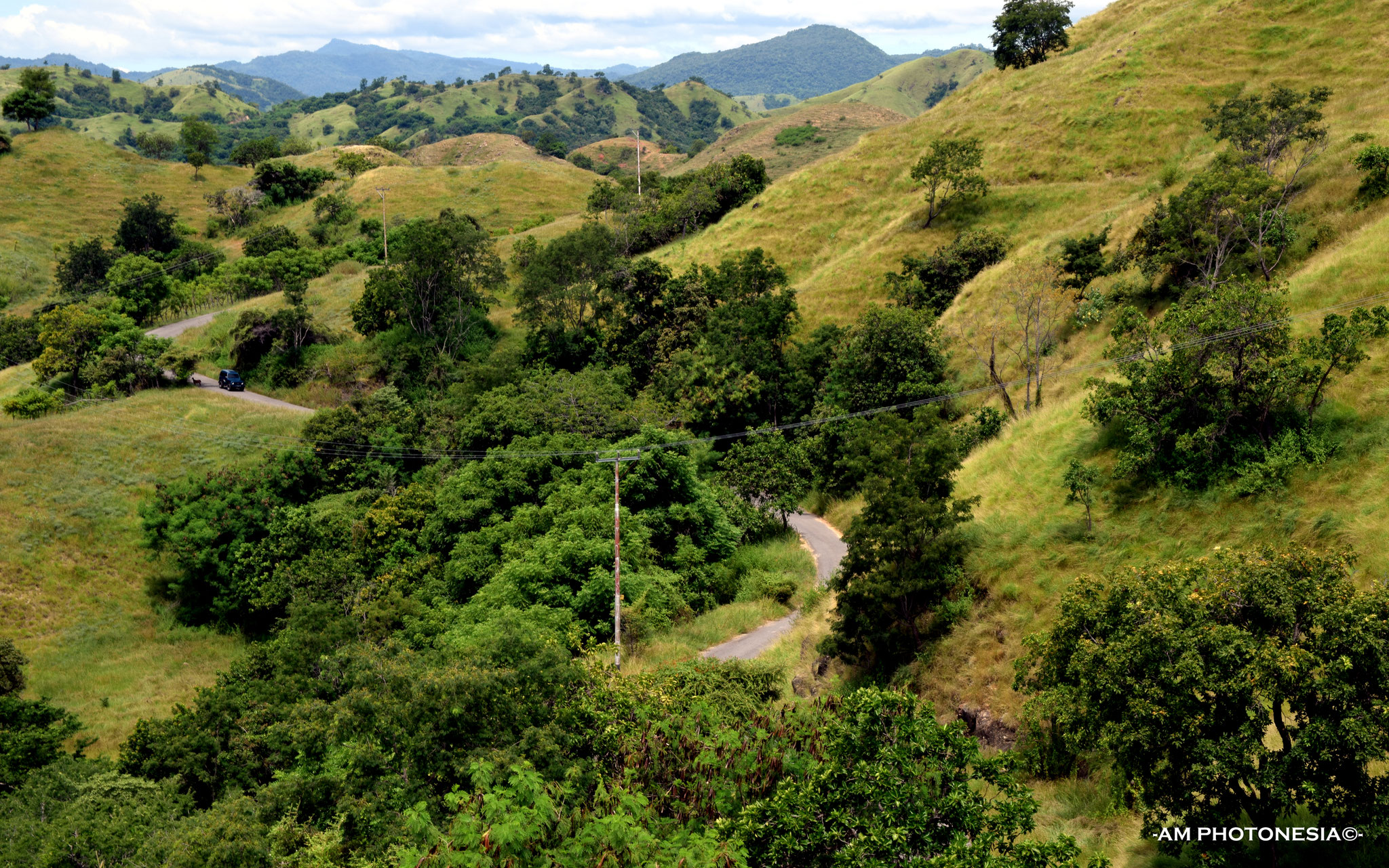
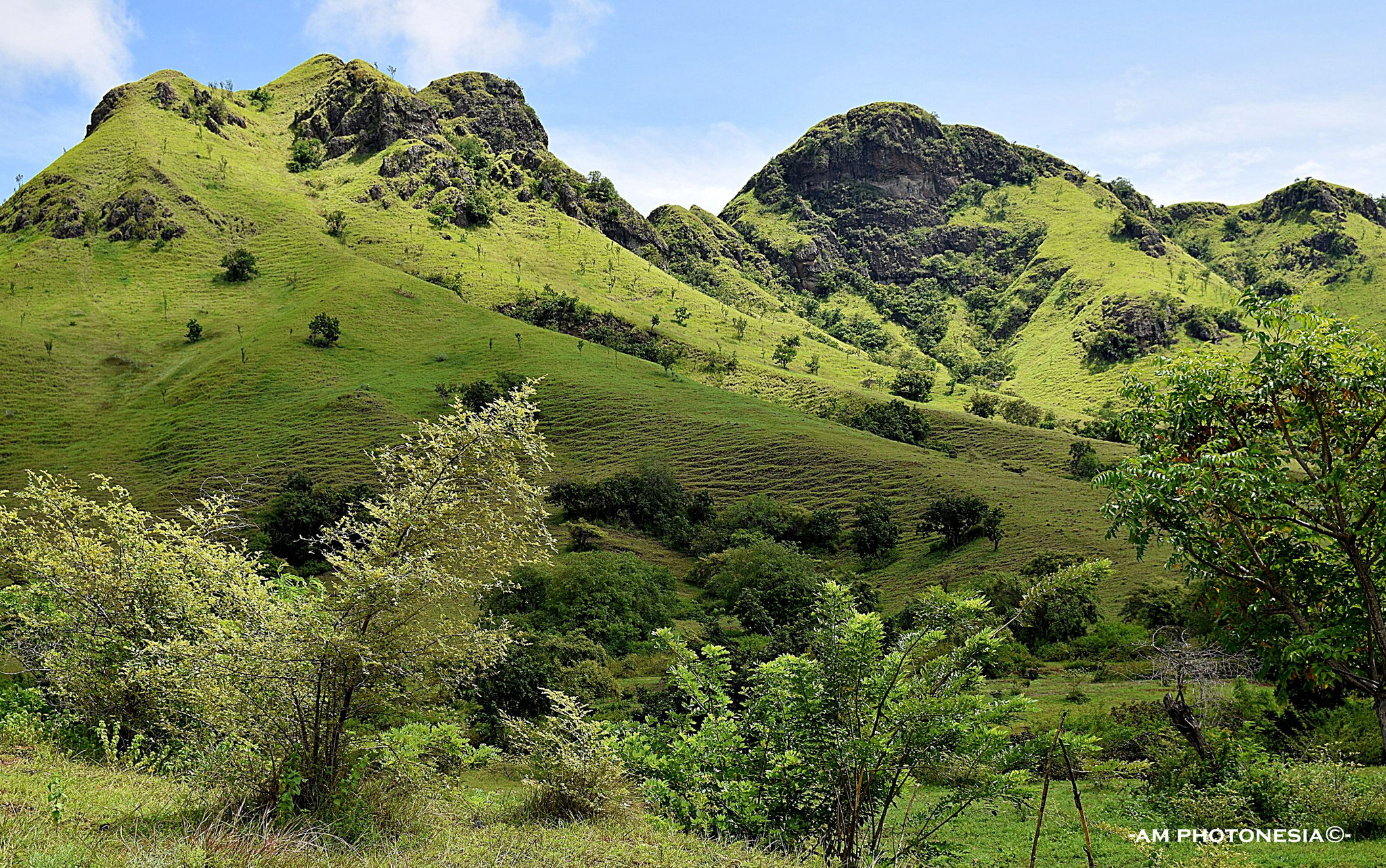
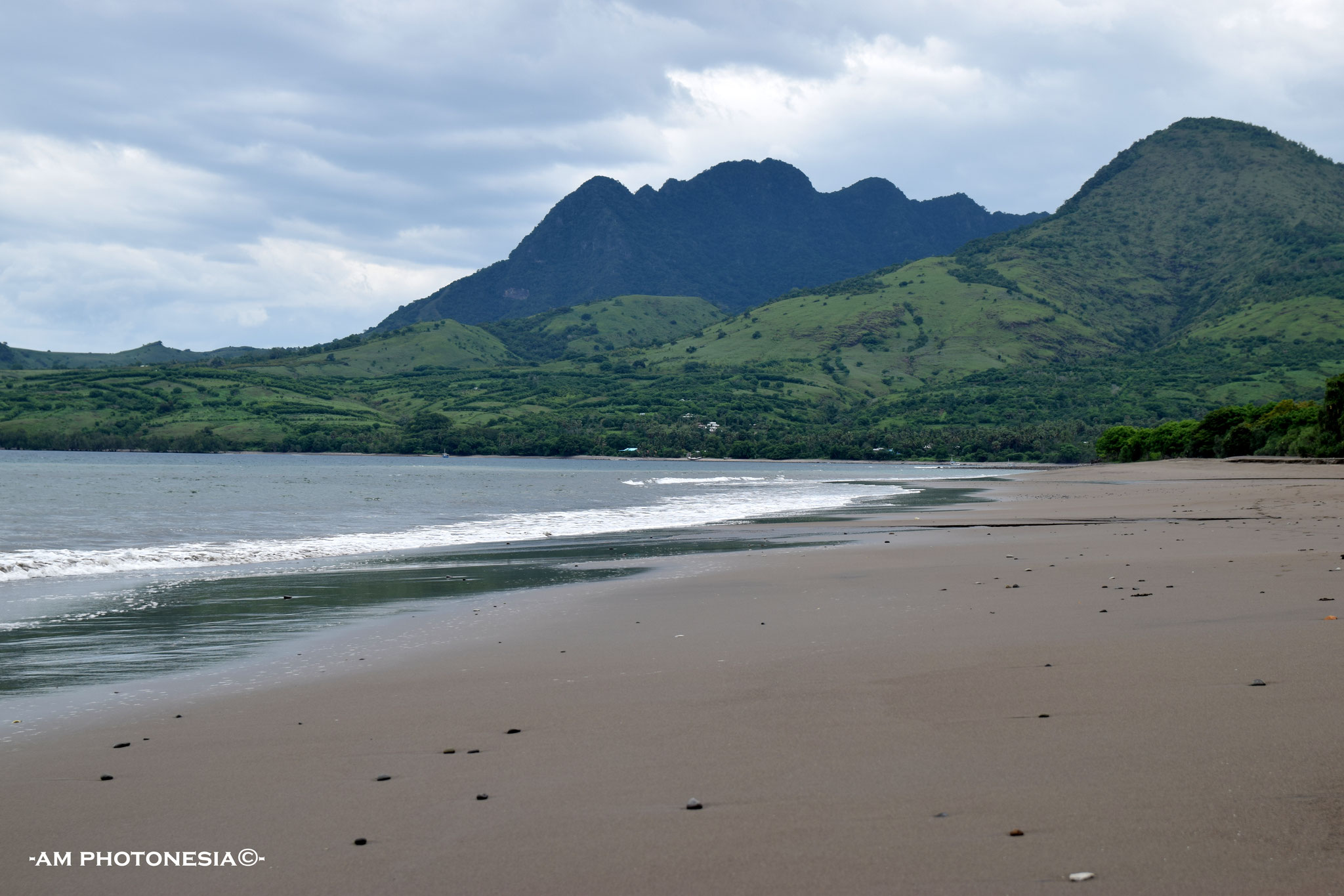
VIEWS, SEA AND AND LANDSCAPES
-Bukit Liaga, a Padarlike hill with awesome views, north coast Ende
-Bukit Nanga Lok, viewpoint between Riung and Pota
-Coastline around Mauponggo
-Coastline east of Ende
-Coastline Ende to Nangapanda
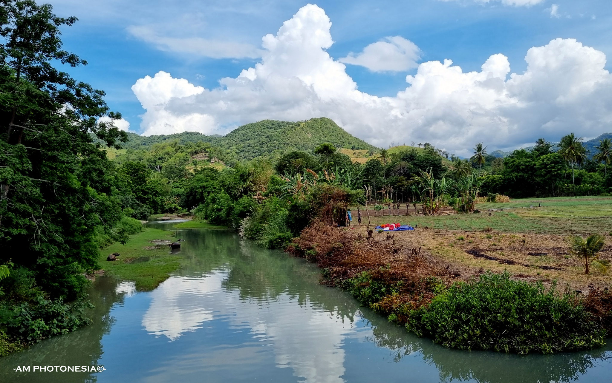
-Danau Ranamese (lake)
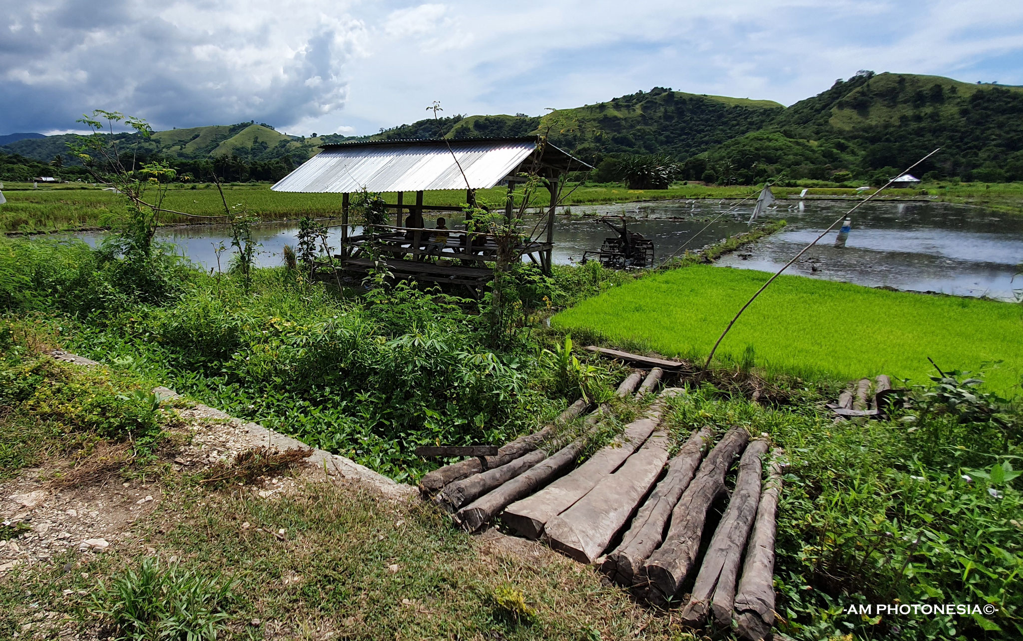
-Detusoko ricefields
-Jalan tengah, a beautiful road between Boawae and Mbay with nice views
-Landscape north east of Bajawa
-Rana Tonjong (lotus lake) near Pota
-Reo river, north of Ruteng towards Reo
-Ricefields north of Mbay with the 7 palmtrees
-Riverlandscape near Kota Baru, north coast Ende
-Road Golewa to the south coast
-Views on Mbay 6 km before Mbay coming from Aegela
-Watu Mitong, pretty coastline 20 minutes west of Riung
-Wewo Rowet, the "camel" mountain on the road Mbay-Riung
-Wolobobo hill, view on Inerie volcano and sunset
WATERFALLS (air terjun)
-Kedebodu, Ende
-Murondao, Ende
-Murudhaekale, Ende
-Ogi waterfall, Bajawa
-Padhawatu, south east of Bajawa
VARIOUS
-Arrack production in Aimere
-Bamboo bridges between Ende and Detusoko
-Bamboo handicraft, Mr. Markus in Manubhara
-Batu kodok, a large rock which looks like a frog on jalan tengah
-Coffee plantation Wolopaku
-Coloured hanging bridges near Ende
-Japanese caves near Mbay
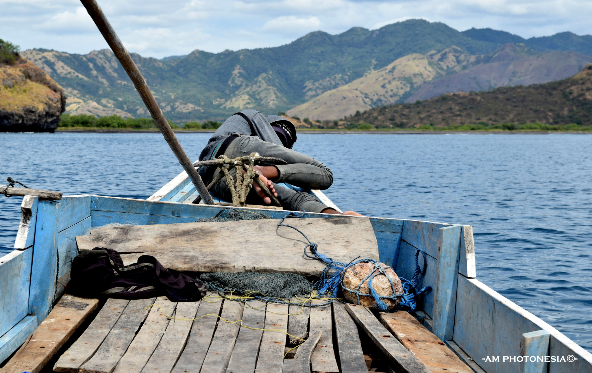
-Marapokot harbour
-Monumen Pancasila, Ende
-Pantai Ria in Ende (grilled fish at the seaside)
-Ri'i Taa island (1 hour from the harbour of Marapokot)
-Rock with mark "Floresweg" (Trans Flores Road, made by the Dutch in 1925)
-Soekarno's (1st president of Indonesia) former house and museum in Ende
-Statue of Mother Mary in the mountains near Beiposo (Bajawa)


Anne Mieke -AM PHOTONESIA©-